Data layers
Resources
Maps and sea partitionings used to identify pings, assign areas, and prepare effort maps.
Some analyses provided by VMSbase need external resources. The identification of on land and in harbour VMS pings requires dry land and harbour maps, while the assignment of VMS pings to specific sea areas is based on one of several partitionings.
This page lists resources generated by the authors of the VMSbase package. External links are listed for other resources, such as the standard partitionings from the Large Marine Ecosystems programme or the ICES boxes.
Dry land and harbours
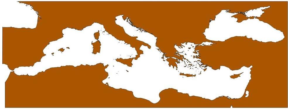
Map of the dry land around the Mediterranean Sea
A land polygon layer used to identify VMS pings on land and to prepare maps of the study area.
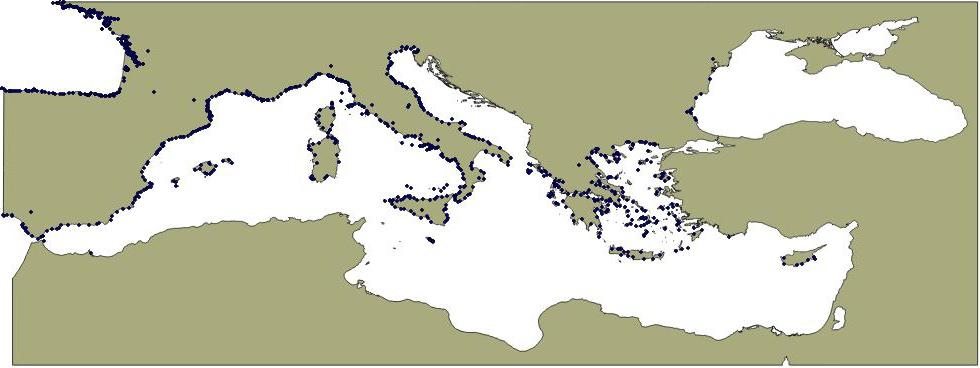
Positions of the EU harbours
A harbour point layer used to identify VMS pings in harbour areas and to support trip reconstruction.
Sea partitionings
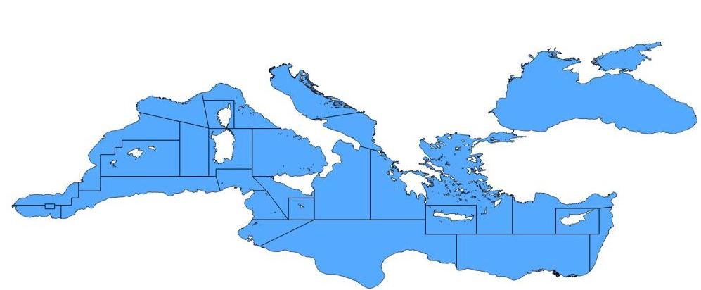
Mediterranean Geographical Sub Areas
Geographical Sub Areas for the Mediterranean, used to assign VMS pings to management areas.
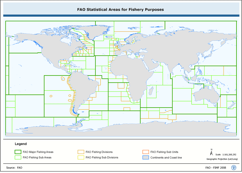
FAO Statistical Areas for Fishery Purposes
The FAO statistical areas used in fishery reporting and in spatial summaries of fishing effort.
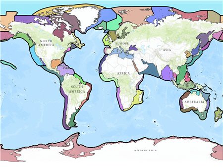
Large Marine Ecosystems Boundaries
Large Marine Ecosystems boundaries for analyses that use ecosystem scale reporting units.
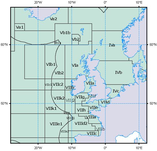
ICES Statistical Areas
ICES statistical areas for the north east Atlantic and adjacent waters.
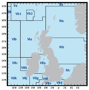
ICES Statistical Rectangles
ICES statistical rectangles for fine scale reporting and mapping of VMS activity.
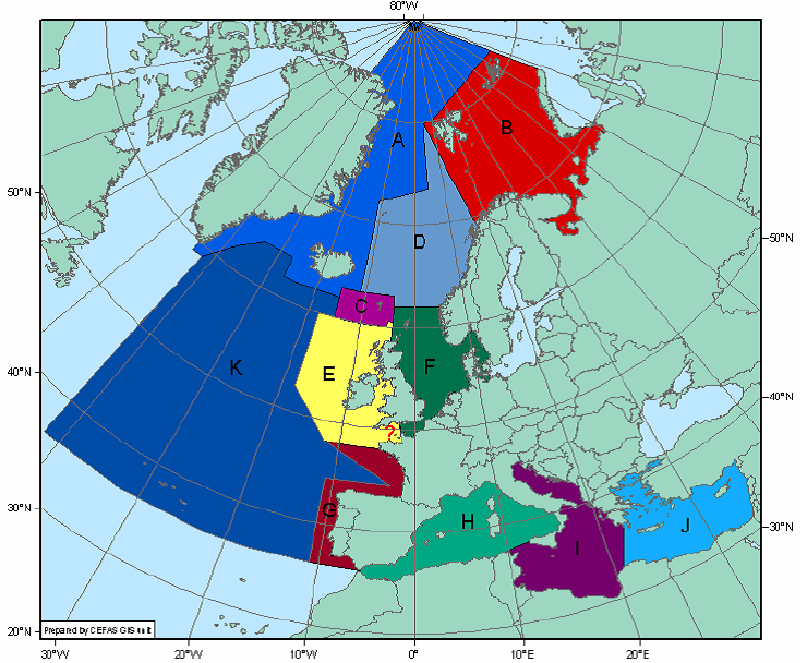
ICES Ecoregions
ICES ecoregions for analyses that group catches and effort by ecological region.
The map downloads are the original files published with the project. Read the documentation for the steps that use these layers.